Farmers worldwide encounter weak, if not zero connectivity in some or all their land – making it very challenging to complete tasks and causing production delays, especially crucial during planting or harvesting seasons.
 Kansas Farm uses Satellite Connectivity to Be More Productive

Case Study from | Deere
Imagine you're trekking in a remote area and suddenly need to urgently share your location or call for help, but due to the weak cellular connection, you can't get through to anyone. However, just 3-5 miles away, you find a connection.
Farmers worldwide encounter weak, if not zero connectivity in some or all their land – making it very challenging to complete tasks and causing production delays, especially crucial during planting or harvesting seasons.
"The value of connectivity to farmers goes beyond any single task or action. Connectivity unlocks vast opportunities for farmers that were previously challenging or unavailable,” said Aaron Wetzel, vice president of production and precision ag production systems at John Deere.
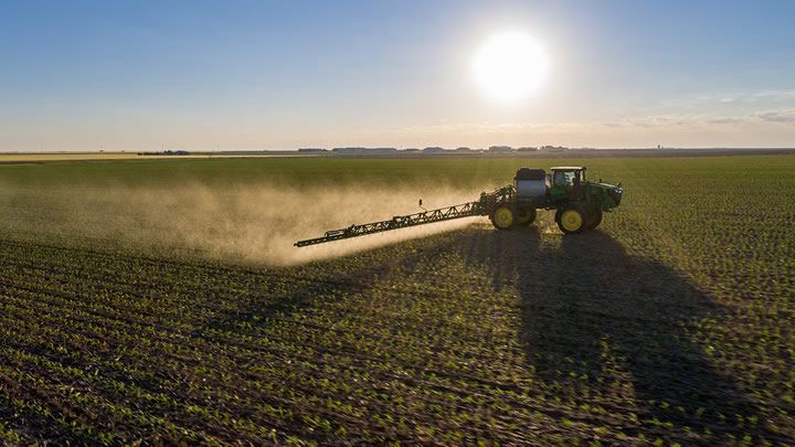
VFF, a farm based out of Scott City, Kansas, has encountered connectivity challenges. Spanning approximately 70 miles of land, the organization specializes in growing wheat, corn, sorghum, triticale, and corn silage.
They also take pride in utilizing cutting-edge technology in their planters, combines, and sprayers. Myles Vulgamore, one of the owners, emphasized the teams’ reliance on data-sharing and connectivity during spraying season leading to a reduction in over-application, cost savings, and environmental benefits.
“We have a lot of wind,” Myles explained. “Many times, we need to stop spraying mid-field because the wind speeds pick up and the conditions aren’t safe for spraying. We then need to return to the field when the conditions are favorable. However, much of the time it’s not the same machine or operator making the return trip.”
Myles further shared how frustrating it can be when a connection drops during those return trips to unfinished fields. His team drives three or four miles down the road to reload the data to help them pinpoint precisely where they applied days ago.
"The value of connectivity to farmers goes beyond any single task or action. Connectivity unlocks vast opportunities for farmers that were previously challenging or unavailable."
Aaron Wetzel, vice president of production and precision ag production systems at John Deere
To address these dead zones, VFF collaborated with John Deere to test new satellite communication tools, seeing improvements over the last couple years.
"I definitely think it's helped with less downtime and operator frustration,” said Ben Spare, crop production lead at VFF. "We even did some over the air software updates in one of the tough areas last year on our combines, and the advantage of having satellite connectivity means we can do these updates and troubleshooting in real time.”
The next phase involves extending more connectivity to more farmers globally – starting in the U.S. and Brazil – to maximize the value of connectivity to their operations, benefiting consumers worldwide. To achieve this, John Deere partnered with SpaceX to support and assist farmers in enhancing the efficiency, effectiveness, and profitability of their operations.
"We look at technology not to replace people, but to make us better," said Myles. "How can we produce more with less? How can we make the land that we have more productive, and provide better communication with our landowners? It seems like technology is the key for us."
The content & opinions in this article are the author’s and do not necessarily represent the views of AgriTechTomorrow
Comments (0)
This post does not have any comments. Be the first to leave a comment below.
Featured Product

